
When the Trail Has Other Plans: Exploring the Battlefords
ELLA-VATED TRAILS
Exploring Saskatchewan trails through storytelling, small adventures, and occasional navigational failure.
By Ella Gidluck, SaskTrails Storyteller
When the Trail Has Other Plans: Exploring the Battlefords
Some trail days go exactly as planned.
This was not one of them.
My grandma joined me for a day of exploring the Battlefords, with Finlayson Island at the top of our list. The area is normally part of a much larger river-valley trail network. The Town of Battleford says the south side of the North Saskatchewan River has more than 19 kilometres of paved and grass trails, with another 12.5 kilometres of grass nature paths on Finlayson Island.
Great.
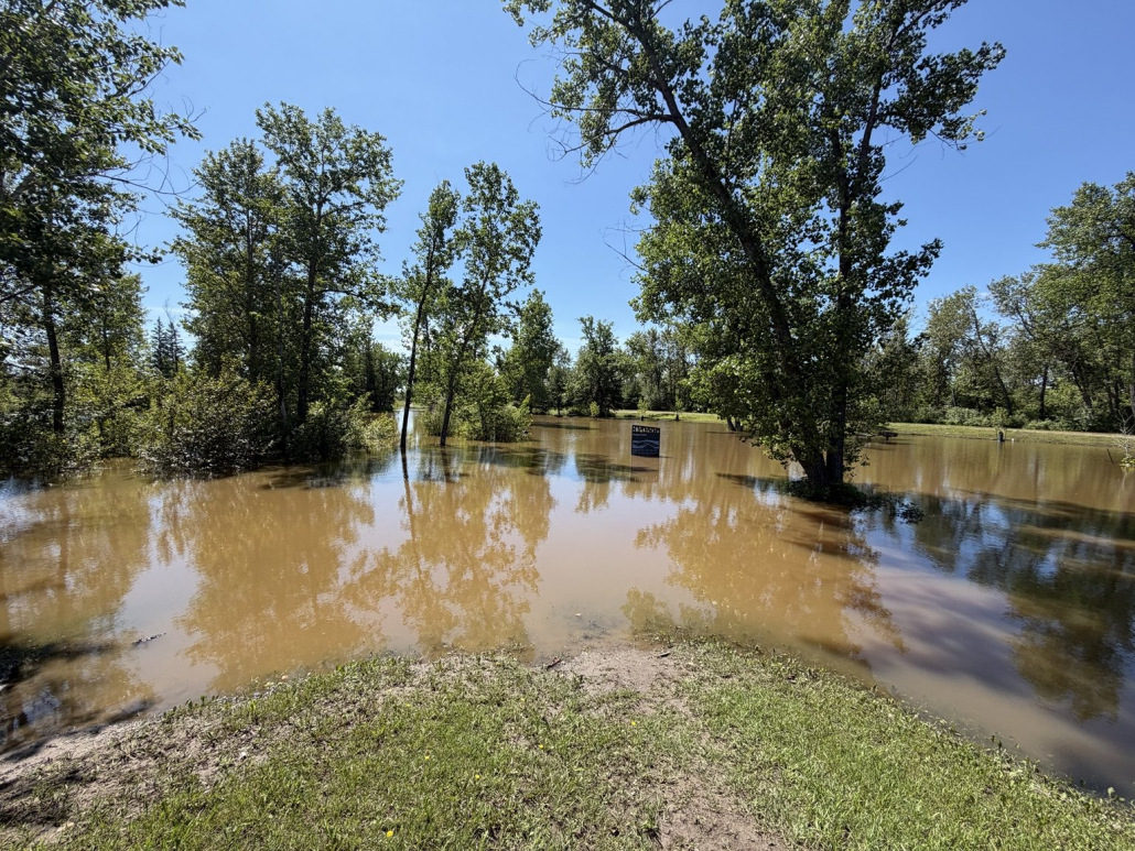
Except when we arrived, a significant portion of Finlayson Island was underwater.
Even the trail map was standing in floodwater.
Plan A: Absolutely Not
There would be no Finlayson Island hike that day, so we did the logical thing and walked across the nearby bridge instead.
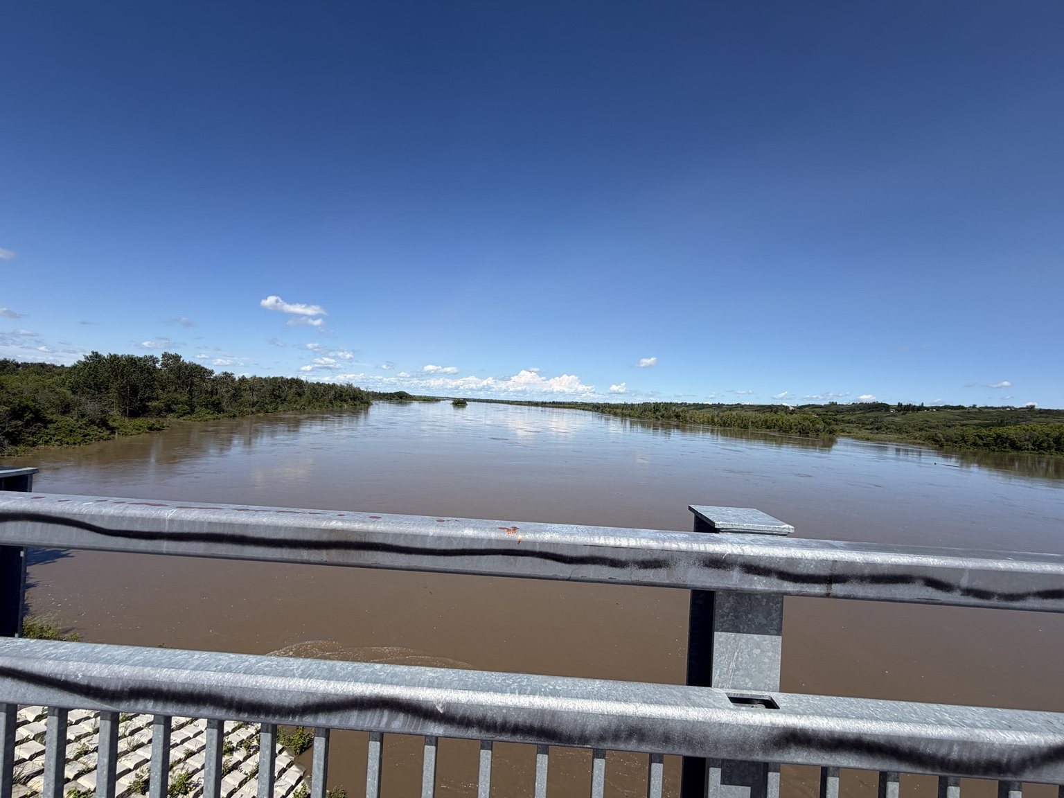
From above, we could really see how high the water was and how far it had pushed into the low-lying parts of the river valley.
There was also a lot of graffiti on the bridge, because apparently no Saskatchewan bridge is allowed to remain spiritually untouched.
Plan B: South Shore Trail
Our next attempt started near the Fred Light Museum.
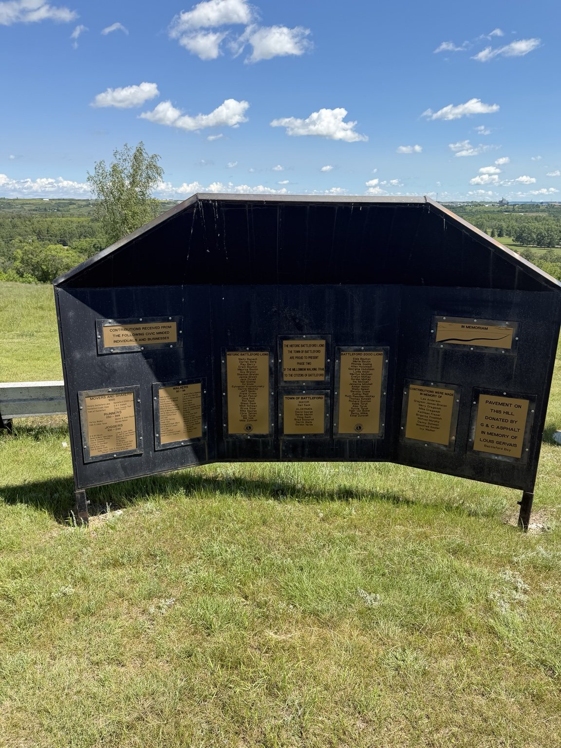
The section we explored dropped steeply from the museum area on a gravelly path before entering a much more wooded landscape. It was one of those descents where the downhill part feels great until you remember you eventually have to come back.
The trail also passes through a disc golf course, which gave us one of my favourite random discoveries of the day.
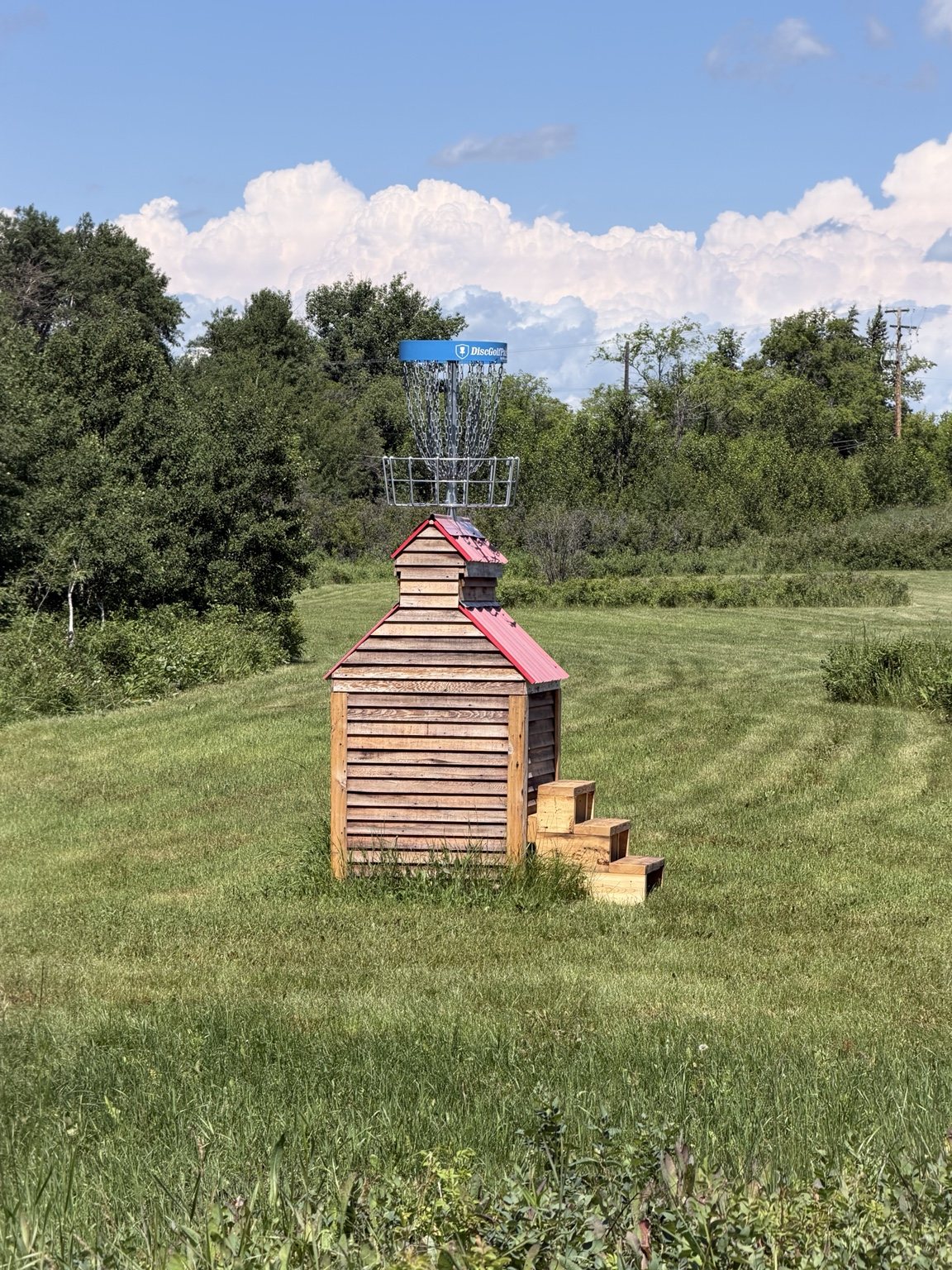
One of the baskets was mounted on a little grain-elevator-style structure. We do not get a ton of disc golf courses with dramatic elevation in Saskatchewan, so seeing the hillside incorporated into the course was genuinely fun.
We kept going, crossed a busy roadway and reached another trailhead.
Flooded.
The timing was almost considerate. I had just told my grandma that if we wanted enough energy to get back up the hill, we should probably turn around soon.
The trail made the decision for us.
What Goes Down Must Eventually Climb Back Up
The return climb was steep enough that stopping for too long felt like I might simply roll backward.
Grandma and I handled it in sections. We would pick a rock or tree ahead, make it there, stop for a breather, then choose the next landmark.
My grandma is a champ, but I would not describe that particular section as especially senior-friendly. Loose gravel and a serious grade can make a short distance feel much longer.
My calves had opinions.
A Very Earned Lunch Break
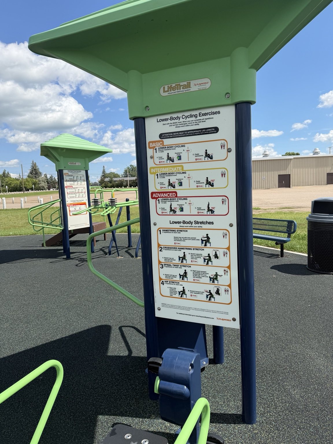
After surviving the climb, we found a nearby park with something neither of us had seen before: outdoor LifeTrail fitness equipment designed for adults 50 and older.
Obviously we had to try it.
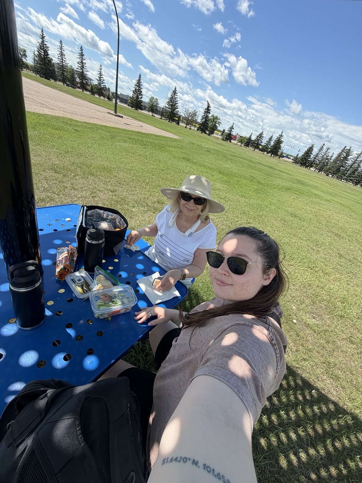
We ate lunch in the shade while groups of people biked through the park toward Tim Hortons. Then they would reappear later with Iced Capps in hand.
Apparently this was the move.
It was peaceful, very hot, and I eventually handed Grandma my neck fan because survival is a team sport.
Final Stop: King Hill Lookout
We finished the day at King Hill Lookout. After the South Shore climb, this was exactly the kind of final stop we needed.
Drive up, park, take a short walk, visit the viewing platforms, enjoy the payoff.
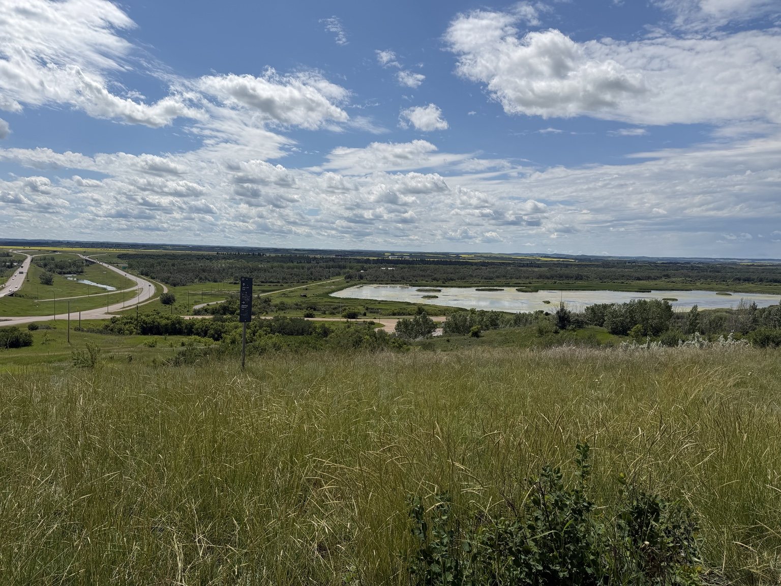
The platforms look out across the Battlefords and the North Saskatchewan River valley. After spending the morning seeing the high water from ground level, it was striking to finish the day above everything and look back across the landscape.
Before You Go
- The Battlefords trail network is extensive, so you have options if one route does not work out.
- Natural conditions can change access quickly, especially around the river.
- The South Shore section we walked included a substantial climb back toward the Fred Light Museum.
- King Hill Lookout is a great option if you want a big view without a long hike.
- Apparently biking to Tim Hortons is a local recreational strategy worth considering.
Ella-vated Trail Rating
| Category | Rating | Notes |
|---|---|---|
| River Valley Views | 9/10 | Beautiful, dramatic, and on this particular day, very wet. |
| Trail Predictability | 3/10 | We made plans. The river laughed. |
| Flooded Turnaround Timing | 10/10 | Every time I thought “we should probably turn back soon,” nature made the executive decision for us. |
| South Shore Calf Workout | 12/10 | Going down was fun. Coming back up was character development. |
| Senior Friendliness | 5/10 | Grandma handled it like a champ. Some of those grades absolutely would not be for everyone. |
| Disc Golf Creativity | 10/10 | Saskatchewan finally found some elevation and immediately put a basket on a grain elevator. Respect. |
| Picnic Recovery Potential | 10/10 | Shaded lunch, neck fan, people biking for Iced Capps. Peak civilization. |
| King Hill Payoff | 9.5/10 | Short walk, big view, exactly what tired legs needed. |
| Final Ella-vated Rating | 8.5/10 | Chaotic, scenic, unexpectedly fun, and proof that a failed trail plan can still make a very good day. |
We did not complete the routes we had planned.
Instead, we walked a bridge, explored part of the river valley, found an excellent disc golf basket, climbed a hill that made our calves question our decisions, tested a seniors fitness park, ate another grandma-packed picnic and finished at a lookout above the valley.
Sometimes the trail trip is less about completing the route and more about seeing where the day takes you.
And sometimes the trail itself politely tells you when it is time to turn around.
This article is part of the SaskTrails Storyteller Series. Thank you to the Saskatchewan Parks and Recreation Association and Trans Canada Trail for supporting this initiative.
Ella Gidluck is the Saskatchewan Trails Association’s 2026 Summer Storyteller. She’s on a mission to prove Saskatchewan trails are cooler than people think, even when the mosquitoes disagree.



Leave a Reply
Want to join the discussion?Feel free to contribute!